Optimizing the use of technology, including geospatial technologies, for evidence-based decision-making.
Supporting coherence for the 2030 Agenda.
Optimizing the use of technology, including geospatial technologies, for evidence-based decision-making.
Supporting coherence for the 2030 Agenda.
UNOSAT is now the new United Nations Satellite Centre. The United Nations Economic and Social Council recognized UNOSAT as the United Nations Satellite Centre, shortly before UNOSAT celebrated 20 years of continuous and growing operations. Building off this success and lessons learned, UNOSAT kept a high standard of delivery for all remote activities and distance learning.
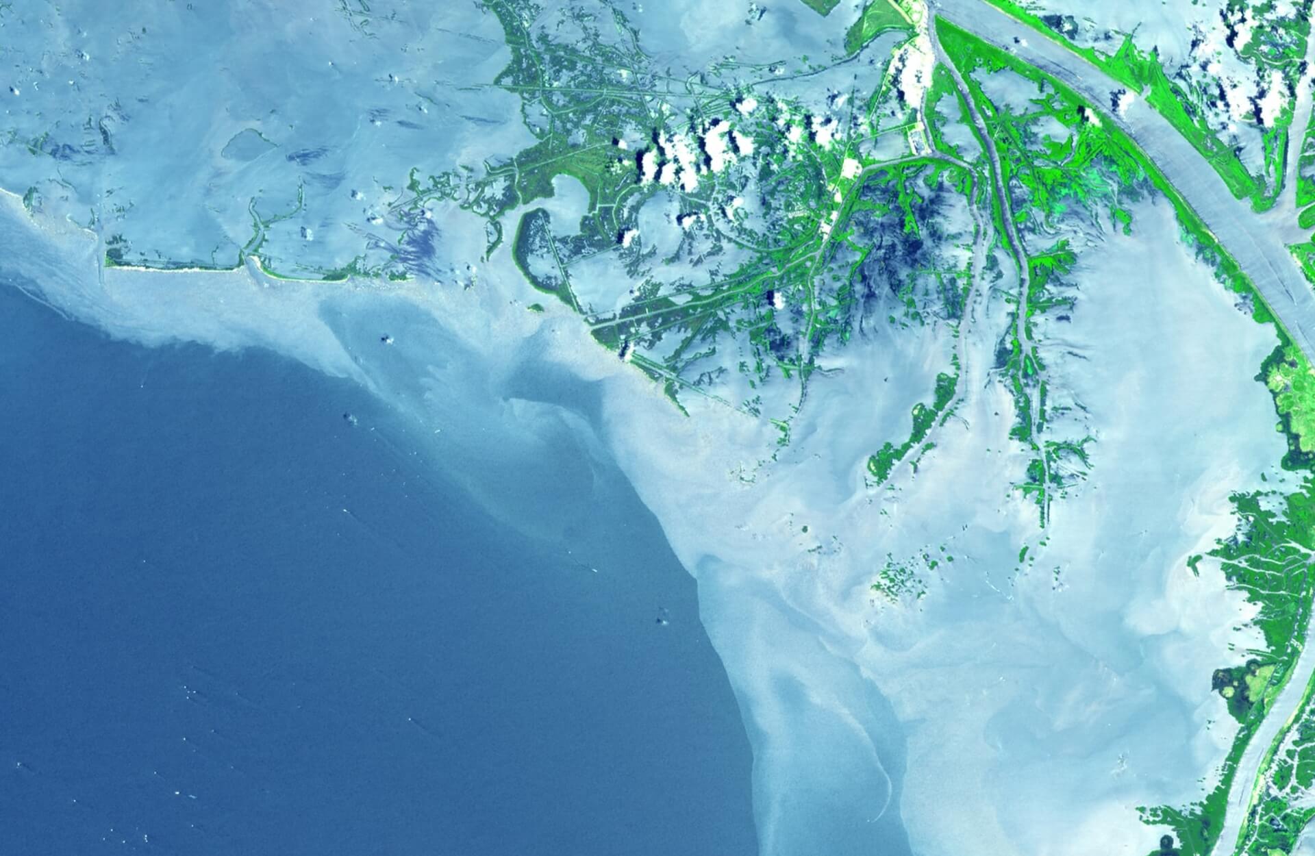
Mapping services. UNOSAT’s flagship emergency mapping service delivered 872 products and services based on 315 analyses to partners in 54 countries, predominantly in Sub Saharan Africa, Northern Africa and Western Asia. Much of this was to assist disaster management authorities in assessing the impact of hazards.
Capacity development. UNOSAT also continued developing capacities of member states in the use geospatial tools and data. Various tailored geospatial data-sharing tools were developed to support decision making with satellite imagery-derived evidence.

“UNOSAT provides this analysis that shows the number of population, areas affected, and estimated people exposed. All this gives us an amazing immediate big picture of the real situation. Then, the inter-cluster coordination group undertakes an in-depth analysis to help shape the response.”
South Sudan